
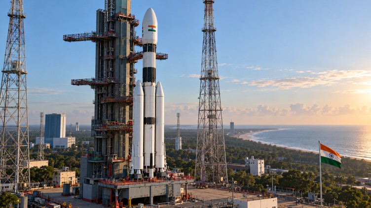
The Indian Space Research Organisation (ISRO) is gearing up to launch the NVS-03 navigation satellite on October 30, aimed at enhancing the nation’s satellite navigation capabilities. The satellite is scheduled to lift off at 11:51 p.m. from the Second Launch Pad at the Satish Dhawan Space Centre in Sriharikota, according to ISRO Chairman V. Narayanan. This mission is set to bolster the continuity of navigation services essential for various applications, including transportation, civilian use, and strategic needs.
The NVS-03 satellite will be deployed using the GSLV-F18 rocket, marking the 20th flight of India’s Geosynchronous Satellite Launch Vehicle. As the third satellite in India’s next-generation navigation satellite series, NVS-03 aims to sustain and expand the functions of the Indian Regional Navigation Satellite System (IRNSS), also known as NavIC.
A notable feature of NVS-03 is its payload, which includes an indigenous atomic clock alongside procured atomic clocks, and the introduction of the L1 navigation signal in addition to the existing L5 and S-band signals. These advancements are expected to enhance the availability and reliability of positioning, navigation, and timing services provided by the system.
India’s navigation system is designed to cover the country as well as an area extending approximately 1,500 kilometers beyond its geopolitical boundaries. This coverage supports a variety of applications such as real-time train tracking, vehicle monitoring, aircraft-related services, and navigation for maritime activities. Additionally, it fulfills strategic requirements.
The upcoming launch underscores ISRO’s commitment to maintaining operational navigation services and strengthening India’s ability to deliver precise positioning and timing information. This mission represents another significant step in expanding the country’s indigenous space-based navigation infrastructure, as highlighted by Narayanan.